Advanced Custom Fields: Leaflet Field Plugin
Addon for Advanced Custom Fields that adds a Leaflet field to the available field types.
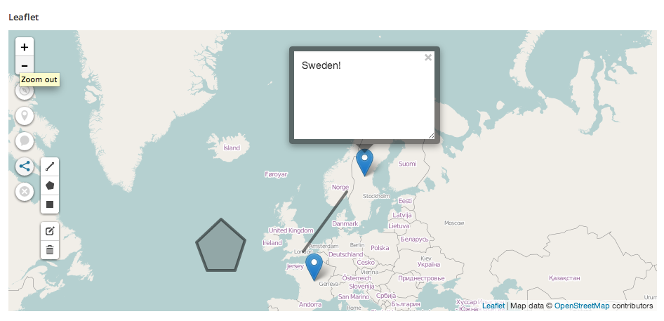
This plugin adds a Leaflet map field to the Advanced Custom Fields plugin. Use it to display maps with markers, lines and shapes along with your posts and pages.
- Add multiple markers with popups to the map.
- Draw polylines, polygons and rectangles.
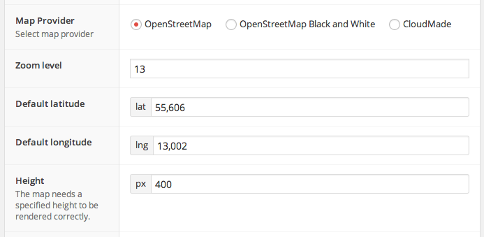
- The field stores both your zoom-level and viewport location.
- Function to render the map in your theme is included in the plugin:
<?php the_leaflet_field( 'my_leaflet_field' ); ?>, just plug and play! - Supports ACF4 and ACF5 (Pro)
Instructions
A rendering function is provided in the plugin. If you want to use it all you have to do is use the_leaflet_field( 'my_leaflet_field' ); where you want to render the map.
To do
Things I plan to add to the plugin:
- Adding images to popups.
- Provide a tool for importing GeoJSON-structured data into the field.
GitHub
If you want the latest development version of this plugin it is available over at my github repository. The github repository will always have the latest code and may occasionally be broken and not work at all.
Installation
- Upload
advanced-custom-fields-leaflet-fieldto the/wp-content/plugins/directory - Make sure you have Advanced Custom Fields installed and activated
- Activate the plugin through the ‘Plugins’ menu in WordPress
- Add a Leaflet field to a ACF field group and save
- The field is now ready for use
Screenshots
FAQ
I activated the plugin but nothing cool happened ;(
This is not a standalone plugin, you need to have Advanced Custom Fields installed and activated for it to work.
Changelog
1.2.1
- Fixed a bug where polylines, polygons and rectangles wouldn’t be rendered to the map when no markers were present on the map.
1.2.0
- More polished UI.
- Added support for drawing polylines, polygons and rectangles.
- Added OpenStreetMap Black and White as Map Provider option.
- Fixed a bug where a popup couldn’t be opened after it had been opened once.
1.1.2
- 4.3.9 Compatibility patch
1.1.1
- Added support for ACF 5 (PRO)
1.1.0
- Added support for OpenStreetMap as tile-provider. This will be the new default tile-provider.
- Switched to geoJson for data-structure.
1.0.0
- Migrated the plugin into field-template for v3 & v4 support.
- New tool: Locate tool.
- Fixed repeater-support.
0.2.0
- Added support for binding popups to markers.
0.1.0
- Release

